


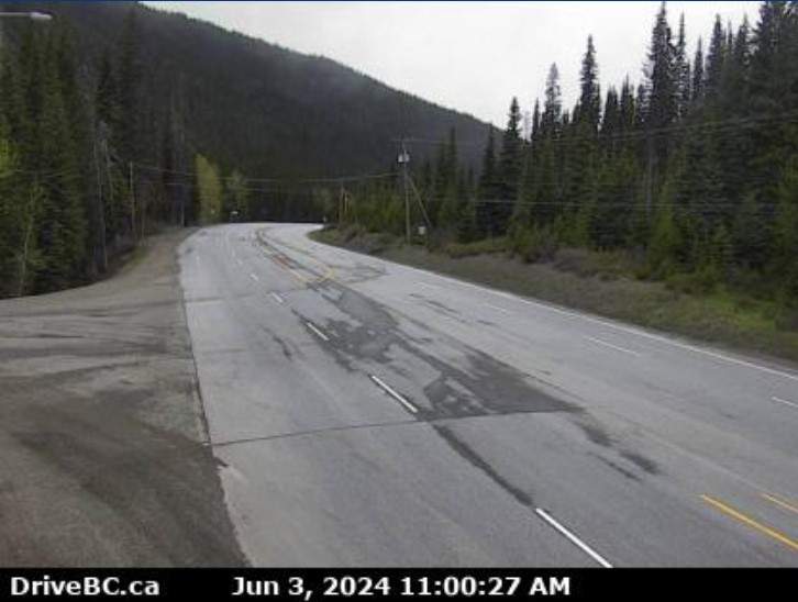
Summer may be around the corner, but there is still snow in the forecast for some B.C., interior highways.

Environment Canada has issued a special weather statement for multiple high mountain passes.
“A Pacific frontal system moving across BC brings a cooler airmass and widespread precipitation to the region,” read the Environment Canada special weather statement. “Snow levels lowered overnight, and periods of mixed rain and wet snow are possible for high elevation passes along southern interior highways.”

Areas under the weather alert:

Get breaking National news
Coquihalla Highway
- Hope to Merritt
Highway 3
- Hope to Princeton via Allison Pass
Okanagan Connector
- Merritt to Kelowna
Highway 3
- Paulson Summit to Kootenay Pass
- 2 seriously hurt, 11 others injured in B.C. crash that shut down Highway 99
- Multi-vehicle crash including double-decker bus closes Highway 99 in Delta
- Cause of fiery Calgary bus crash that killed 3 passengers, injured 16 under investigation
- Young father killed when motorcycle crashes into Edmonton bus shelter


Mixed precipitation is expected to fall Monday morning on the Coquihalla Summit and Allison Pass.
While snow is expected to fall over Pennask Summit along the Okanagan Connector, and Kootenay Pass along Highway 3 Monday through Tuesday morning.
“Please be prepared to adjust your driving as weather conditions at high elevations may change quickly,” said Environment Canada. “Visit the DriveBC website for current road conditions: drivebc.ca”



Comments
Want to discuss? Please read our Commenting Policy first.