


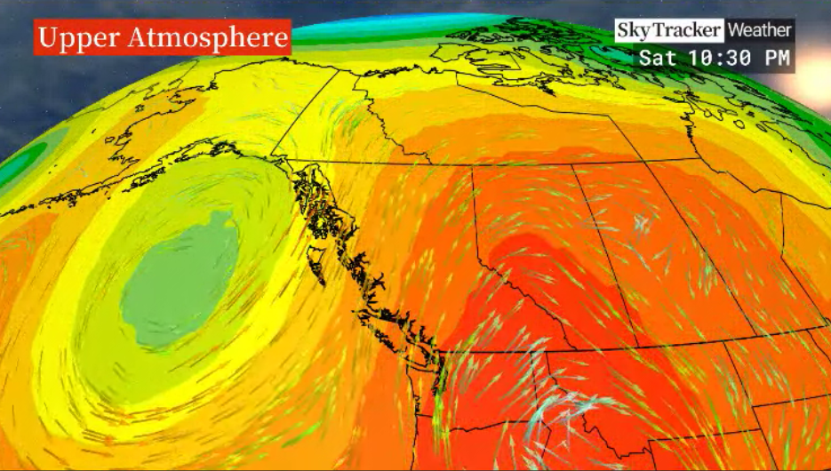
After some slight moderation in daytime highs over the weekend, to the mid-30s C, a gradual warm-up is on the way for the work week ahead.

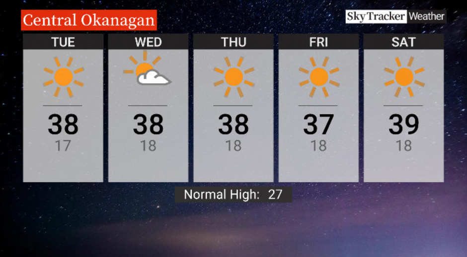
An upper ridge of high pressure re-establishes itself over the area, bringing back sunshine with a high around 37 C Monday afternoon.
Mostly sunny skies are expected through the middle of the week with highs staying in the upper-30s and lows just a few degrees into the teens at night, not giving much relief.

Get breaking National news
The week will end on Friday with highs around 37 C as the sunshine sticks around.
No relief is expected for the weekend ahead, with highs in the upper 30s or low 40s C as the sunshine continues and the ridge further strengthens.
- ‘Godzilla’ El Nino set to bring warmer, drier temperatures to Canada
- Heat waves linked to 50K deaths in Europe this summer, report says
- High winds from Subtropical Storm Josephine nix N.S.-P.E.I. ferry crossings
- Subtropical storm bringing rain and wind to parts of Atlantic Canada, diverts cruise ship


For weather on the go download the Global News SkyTracker Weather App for iPhone, iPad or Android.


Comments
Want to discuss? Please read our Commenting Policy first.