


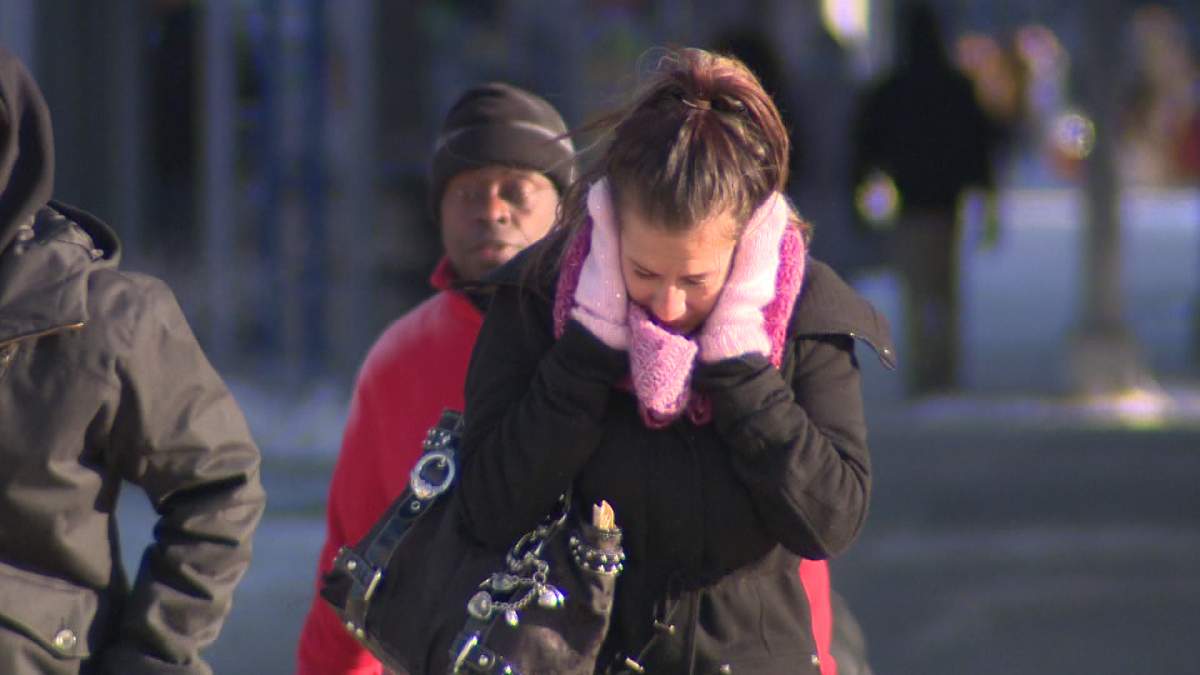
WINNIPEG– It’s early November but its going to feel like late December.

The fresh blanket of snow on the ground will be here to stay with temperatures remaining well below normal all week long. Here’s a quick look at the highest snowfall amounts over the weekend.
While there will be some flurry activity near the middle of the week, the highlight (or low light) of the week will be the temperatures.

Get breaking National news
Tuesday morning will be cold. Temperatures are expected to drop close to -20 degrees Celsius overnight. While temperatures like this can arrive sooner, this is more normal for late December. There is also a chance Friday morning will be similar. One weather model predicted temperatures falling to -25° Friday morning. Other long term models predict temperatures closer to -16°.
- Record slow hurricane season, but Maritimers warned to stay vigilant about extreme weather
- Tornado confirmed in Winnipeg neighbourhood, another west of the city
- ‘A lot of work ahead’: Storm-ravaged Saskatchewan cities continue cleanup
- ‘Warzone’: Storm rips through Winnipeg leaves thousands without power


Daytime highs will also be closer to typical overnight lows. Again, while these temperatures can happen sooner, these are normal temperatures in early December.
It looks like temperatures will get back closer to the freezing mark this weekend with a bit more snow likely on the way at this time. Don’t expect a big warm up coming our way though. Generally, it looks like we’re going to start to live below the freezing mark.


Comments
Want to discuss? Please read our Commenting Policy first.