


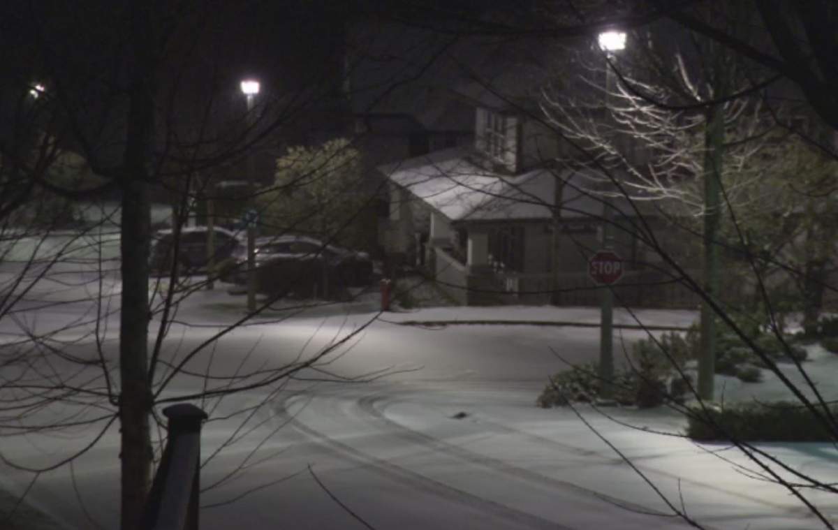
Parts of Metro Vancouver saw snowfall on Tuesday as the region braces for a blast of cold weather.

Homes in the Heritage Mountain area of Port Moody received a light dusting of snow Tuesday morning.
An arctic blast is hitting B.C., with temperatures dipping below zero and strong winds for the next few days.
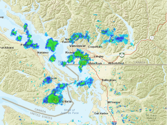
Doppler radar shows rain showers and a mix of rain and snow across parts of Metro Vancouver on Tuesday morning.
The North Shore mountains saw their first snowfall on Monday.
A trough of low pressure over B.C.’s South Coast is creating these showers, with some containing wet snow that is sticking in a few areas.
- ‘Godzilla’ El Nino set to bring warmer, drier temperatures to Canada
- Heat waves linked to 50K deaths in Europe this summer, report says
- High winds from Subtropical Storm Josephine nix N.S.-P.E.I. ferry crossings
- Subtropical storm bringing rain and wind to parts of Atlantic Canada, diverts cruise ship



Get breaking National news
As drier air rolls in Tuesday afternoon, Metro Vancouver will see an end to the precipitation.
It could get as cold as -6 C this week.
In preparation, the City of Vancouver is opening extreme weather shelters through Nov. 28 at a number of locations, some of which will provide food, snacks and a place to shower.
The Union Gospel Mission will also be sending out “mobile missions,” according to spokesperson Jeremy Hunka.
“Handing out things like survival gear, reflective tarps, sleeping bags, blankets, tuques, jackets, waterproof boots, those types of things to people are outside and don’t have a place to go.”


Comments
Want to discuss? Please read our Commenting Policy first.