


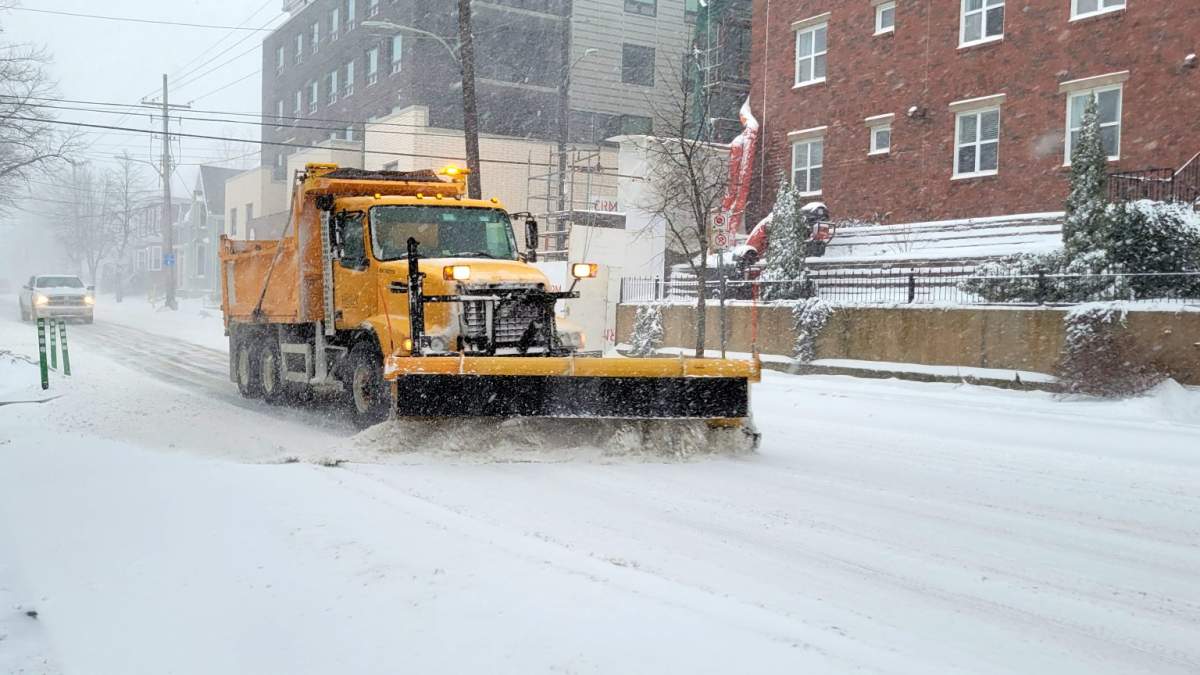
There is a new way for Kitchener, Ont., residents to get around town during a snow event.

The city has introduced an online map called Getting Around.
In a news release, the city said the map is designed to help residents plan their route in the event of a declared snow event in Kitchener.

Get breaking National news
Get breaking Canada news delivered to your inbox as it happens so you won't miss a trending story.
By providing your email address, you have read and agree to Global News' Terms and Conditions and Privacy Policy.
They say the map will be available after a snow event is declared by the city.
Once it is declared, the map will show what roads have been treated most recently by a winter maintenance vehicle, and the time range for when that road was last serviced by a winter maintenance vehicle.
- ‘Local Governance 101’ Okanagan community’s first-ever council trains ahead of inaugural meeting
- Family of soldier badly burned at CFB Wainwright speaks about his injuries
- As B.C. scraps time change, experts have a warning about the risks
- B.C. soldier burned in CFB Wainwright fire remains in Edmonton ICU


The map will remain available until 24 hours after the snow event has been cancelled.
Residents can get a link to the online map by signing up at the City of Kitchener’s website.


Comments
Want to discuss? Please read our Commenting Policy first.