


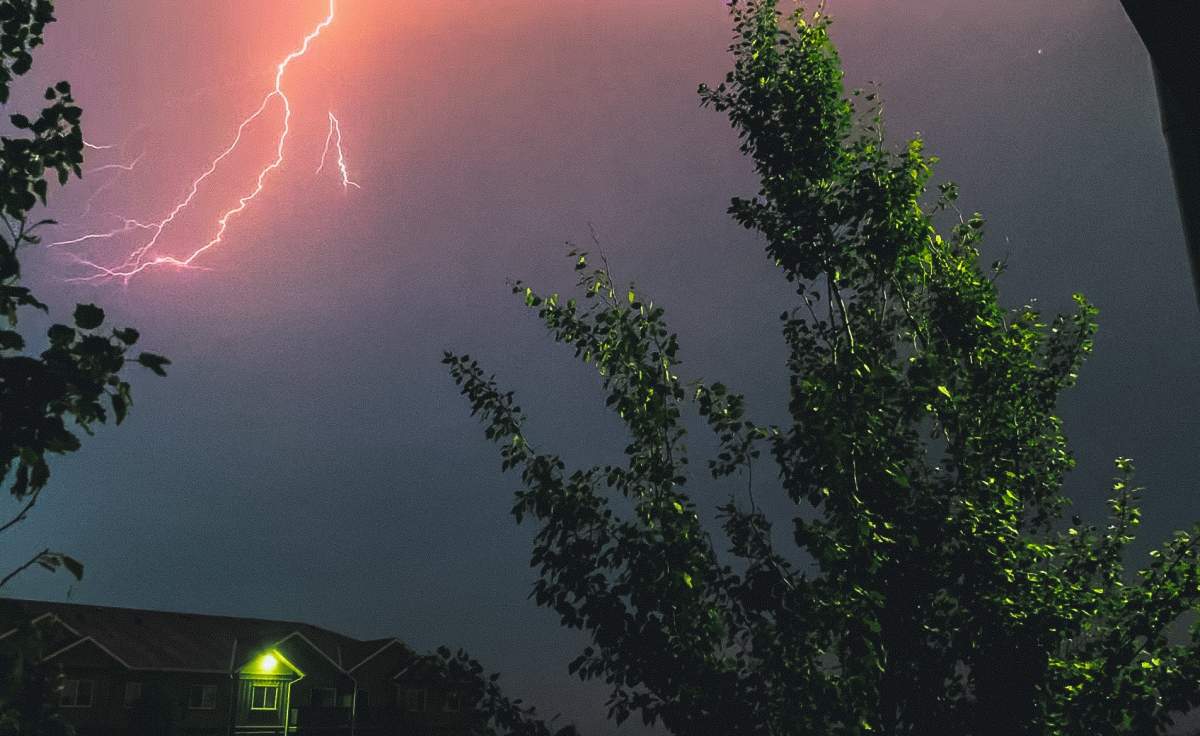
A large swath of southern Ontario and portions of Quebec can expect thunderstorms on Thursday afternoon, with the most severe storms and the highest risk of tornadoes concentrated around the Ottawa area.

Environment Canada says “conditions will be favourable” for severe storms to develop in the afternoon capable of producing strong winds, large hail, torrential downpours and possibly even tornadoes.
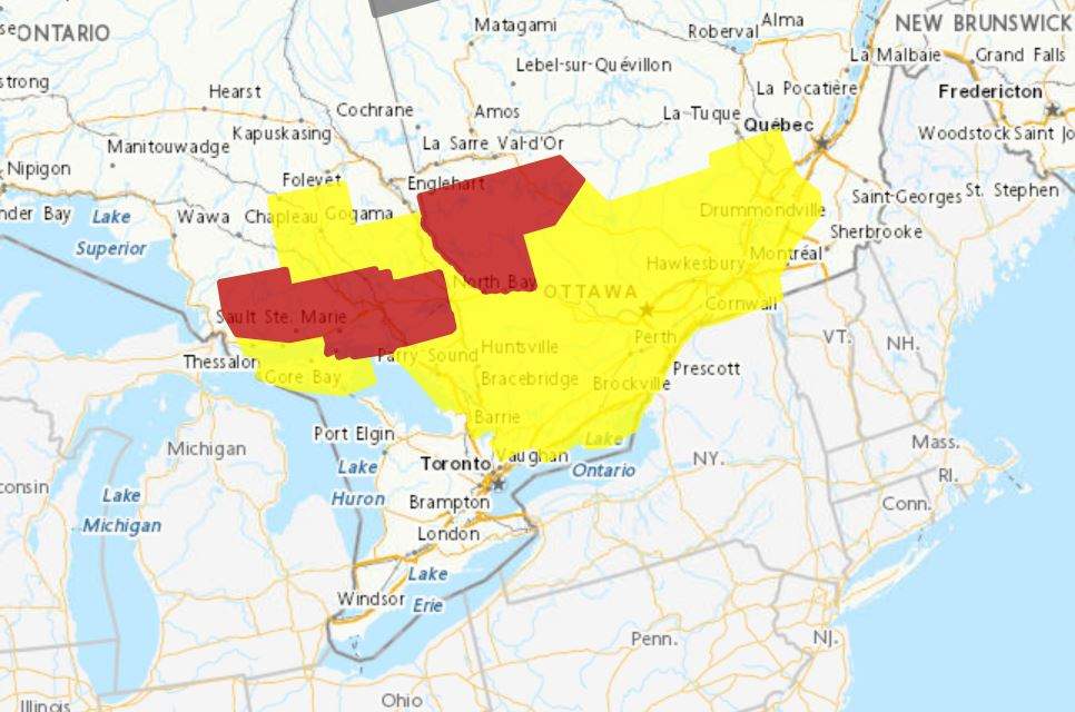
As of 2:30 p.m., severe thunderstorm watches were in place from the Lac-aux-Sables area of Quebec, in the northeast to Sault Ste. Marie, Ont., in the west and to the northern Durham region in Ontario to the south.
Severe thunderstorm warnings were also in place in the Dorval Lodge area and Témiscamingue region of Quebec and in the Elliot Lake-Ranger Lake, greater Sudbury area, Espanola–Killarney area, and West Nipissing-French River areas of Ontario.
- ‘Godzilla’ El Nino set to bring warmer, drier temperatures to Canada
- Heat waves linked to 50K deaths in Europe this summer, report says
- High winds from Subtropical Storm Josephine nix N.S.-P.E.I. ferry crossings
- Subtropical storm bringing rain and wind to parts of Atlantic Canada, diverts cruise ship



Get daily National news
The Ottawa region has recently been hit with severe weather. A tornado on July 13 damaged over 100 homes and severe thunderstorms at the end of the month left thousands without power.


Comments
Want to discuss? Please read our Commenting Policy first.