


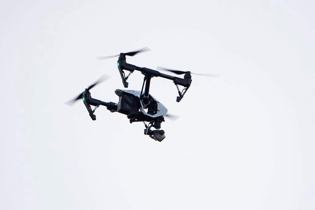
Guelph residents shouldn’t be alarmed if they see a drone hovering above the city.

The City of Guelph says the drone will be used to collect topographic survey data for future reconstruction of the downtown streets.
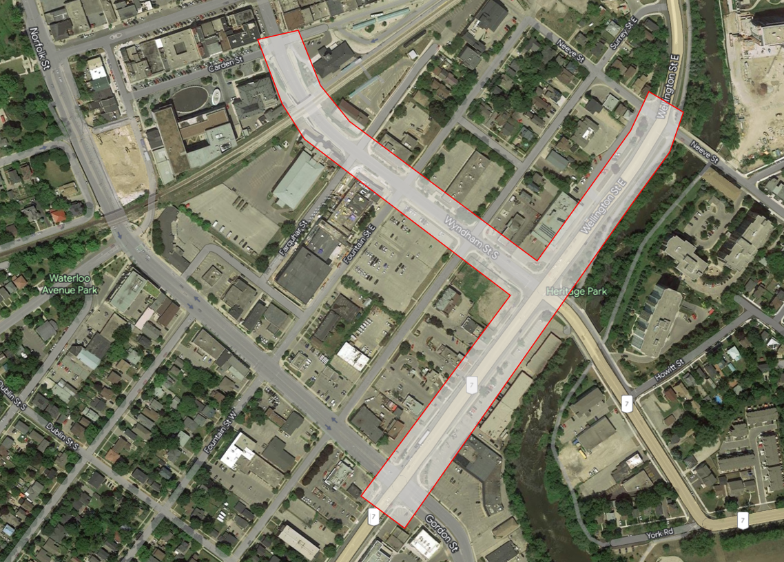
The city plans to fly the drone on Friday (weather permitting), covering the area of Wyndham Street South, Carden Street, Wellington Street, Gordon Street and Neeve Street.
- B.C.’s new party led by Milobar gains 7th member as Donegal Wilson joins
- TC Energy urges co-operation on growing natural gas network to meet ‘generational’ demand
- Lawyer says new bill could cause ramped up surveillance of vulnerable Nova Scotians
- Canada’s 2026 census participation was among highest ever, says StatCan


The city says the data will be collected by JD Barnes Ltd. Only information about the physical features will be collected and no photos or videos will be taken.
They say the initiative is part of the city’s efforts to revitalize downtown as an even more prosperous urban centre.


Comments
Want to discuss? Please read our Commenting Policy first.